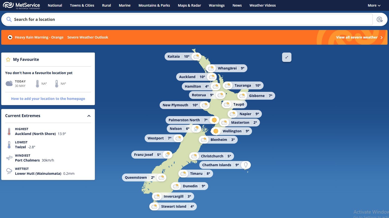
As New Zealand heads into another long weekend, the weather forecast is becoming a serious talking point across the country. MetService has warned that parts of the South Island could face a prolonged 44-hour rain event, bringing concerns about flooding, slips, road closures, and travel disruptions.
For many Kiwis, especially those living in regions already dealing with changing seasonal patterns, this warning feels like another reminder that New Zealand’s weather is becoming more unpredictable every year.
A Rain System That Could Last Nearly Two Days
According to forecasts, areas in Tasman, Buller, Westland, and parts of Marlborough ranges are expected to receive heavy and persistent rainfall stretching across almost two full days. Some regions may experience rainfall totals reaching dangerous levels if the system slows down or intensifies further.
What makes this weather event concerning is not just the amount of rain, but the duration. Continuous rainfall over 44 hours increases the risk of:
- Surface flooding
- Rivers rising rapidly
- Landslides in hilly regions
- Dangerous driving conditions
- Power outages in remote areas
For South Island communities that recently enjoyed one of the driest May periods in years, this sudden shift feels dramatic.
From Dry Weather to Heavy Rain – A Strange Seasonal Shift
Meteorologists have pointed out that many South Island regions experienced unusually dry conditions throughout May. Christchurch reportedly saw rainfall levels far below normal averages this month.
Now, almost overnight, the weather pattern appears to be swinging in the opposite direction.
In my opinion, this is becoming the “new normal” for New Zealand weather. Long dry spells followed by intense rainfall events are happening more frequently, and many residents are starting to question whether infrastructure and emergency systems are keeping up with these climate shifts.
Roading, drainage systems, and rural preparedness may need far more investment in the coming years if these extreme patterns continue.
Travel Plans Could Be Impacted
The warning also comes during a busy travel period, with many families planning road trips and outdoor activities for the long weekend.
Drivers heading through the South Island’s western and northern regions should stay alert for:
- Slippery highways
- Reduced visibility
- Flooded rural roads
- Delays due to slips or fallen trees
Tourism operators and campers may also need to rethink plans, especially near rivers, mountain areas, and coastal regions vulnerable to heavy rain.
Some Parts of NZ May Still Escape the Worst
Interestingly, not every region will experience severe conditions. Forecasts suggest Canterbury and Otago may avoid the heaviest rainfall because of the northerly weather flow.
At the same time, warmer overnight temperatures are expected across many areas, creating humid and unusual winter conditions for late May and early June.
That contrast alone says a lot about how unusual this weather system really is.
Why Kiwis Should Take Weather Warnings Seriously
New Zealanders are known for adapting quickly to changing weather, but recent years have shown how fast situations can escalate.
Flooding events across both islands have already caused major disruptions in the past few years, and emergency agencies continue urging people not to underestimate weather alerts.
Simple preparation can make a huge difference:
- Charge phones and backup batteries
- Avoid unnecessary travel during severe rain
- Check weather updates regularly
- Secure outdoor items around homes
- Prepare emergency supplies if living in flood-prone areas
Sometimes the biggest mistake people make is assuming warnings are “just another forecast.”

Disclaimer: This article is based on publicly available weather reports and forecasts at the time of publishing. Weather conditions may change rapidly, and readers are advised to follow official MetService updates and local emergency guidance for the latest information.