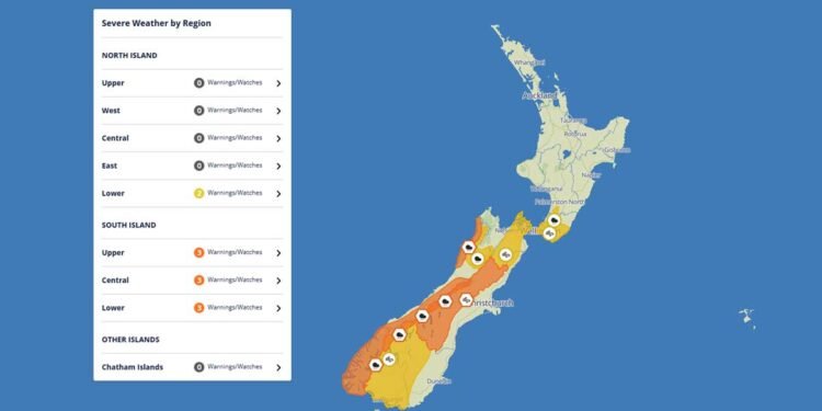
New Zealand is preparing for another burst of severe weather as heavy rain, powerful winds and dangerous coastal swells are forecast to affect several regions through Thursday, Friday and Saturday. Weather authorities have issued multiple warnings and watches across both the South and North Islands as a rapidly deepening low-pressure system moves across the country.
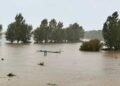
The latest weather update highlights the risk of flooding, slips, difficult driving conditions and coastal hazards, especially for communities in the western and northern South Island.
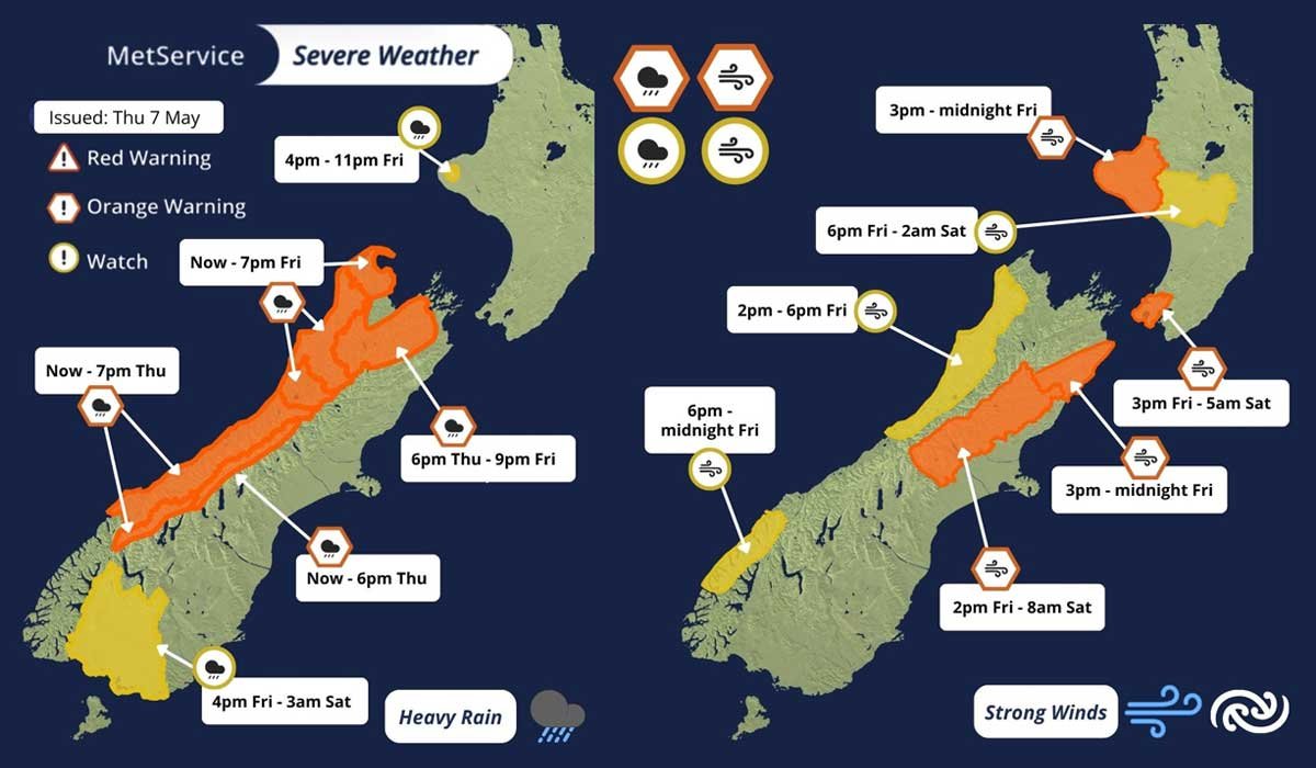
Heavy Rain Warnings Issued Across South Island Regions
Heavy Rain Warnings are currently active for several parts of the northern and western South Island, excluding Fiordland. Areas already experiencing intense rainfall include Westland District and the headwaters of Otago and southern Canterbury lakes and rivers.
According to forecasts, some locations have already received between 50mm and 100mm of rain since midnight, with more heavy rain expected throughout Thursday evening.
Meteorologists warn that another strong burst of rain is expected from Friday afternoon into Saturday, increasing the risk of flooding and river rises.
Rainfall Could Reach 600mm in Some Areas
Weather experts say parts of the Westland ranges could receive an astonishing 500mm to 600mm of total rainfall between Thursday and Saturday. Grey and Buller districts are also expected to experience prolonged heavy rain through Friday evening.
Nelson and Marlborough regions may also see worsening conditions as the weather system expands later Thursday night.
Residents living near rivers, streams and low-lying areas are being encouraged to stay alert and monitor local emergency updates.
Strong Wind Warnings Across Multiple Regions
Alongside the heavy rain, severe gale winds are forecast to impact several regions including:
- Taranaki
- Wellington
- Marlborough southeast of the Awatere River
- Canterbury High Country north of the Rangitata River
Strong Wind Warnings have been issued as gusts could reach between 130km/h and 140km/h in exposed areas.
For Taranaki and Marlborough, the strongest winds are expected Friday afternoon and evening, while Wellington and Canterbury High Country could continue experiencing damaging winds into Saturday morning.
Strong Wind Watches are also in place for:
- Taihape
- Inland Whanganui
- Buller
- Grey
- Northern Westland
- Northern Fiordland
Authorities are advising residents to secure outdoor furniture, trampolines and loose objects that could become dangerous during high winds.


