North Queensland, Australia:
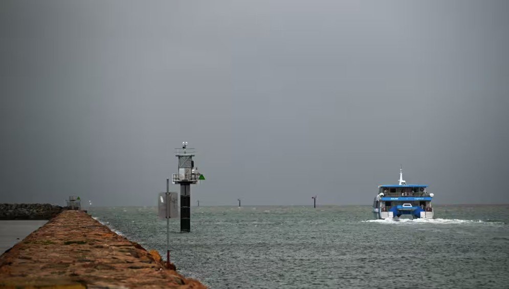
Tropical Cyclone Koji is moving closer to Australia’s northeastern coast, with authorities issuing severe weather warnings for large parts of North Queensland. The system is expected to make landfall soon, bringing damaging winds, intense rainfall, and a heightened risk of flooding across coastal and inland communities.
According to weather authorities, Cyclone Koji is likely to cross the coast between Townsville and Bowen, potentially early Sunday. Wind gusts may reach 120–130 km/h, while heavy rain could lead to flash flooding in low-lying areas.
Areas Under Watch
Communities along the coastline from Townsville to Mackay, including Bowen, Proserpine, and the Whitsundays, are under close monitoring. Many of these regions have already experienced significant rainfall in recent days, increasing concerns about river levels and saturated ground.


Rainfall and Flood Threat
Forecasters warn that rainfall totals could range between 250 mm and 500 mm, with isolated areas possibly receiving more. This volume of rain may trigger life-threatening flash flooding, river overflows, and disruptions to transport and essential services.
Residents are advised to avoid unnecessary travel, stay away from floodwaters, and monitor emergency alerts closely.
Emergency Preparations Underway
State and local authorities have activated emergency response plans, including evacuation readiness where required. Emergency services are urging residents to secure loose items, prepare emergency kits, and remain indoors during severe conditions.
Although Cyclone Koji is expected to weaken after moving inland, heavy rain and flooding risks may persist for several days.
FAQs: Tropical Cyclone Koji
What is Tropical Cyclone Koji?
Tropical Cyclone Koji is a weather system forming in the Coral Sea, expected to bring severe weather to parts of North Queensland.
When will Cyclone Koji make landfall?
The cyclone is forecast to cross the coast between Townsville and Bowen, likely within the next 24 hours.
What impacts are expected?
Strong winds, heavy rainfall, flash flooding, power outages, and travel disruptions are possible.
Will the cyclone weaken after landfall?
Yes, but heavy rainfall and flooding risks may continue even after wind strength decreases.
Disclaimer
This article is intended for general informational purposes only. Weather conditions can change rapidly. Readers are advised to follow official updates and instructions from government authorities, emergency services, and meteorological agencies for accurate and timely information.
For more updates on worldwide weather and global events, visit our Global News section.


