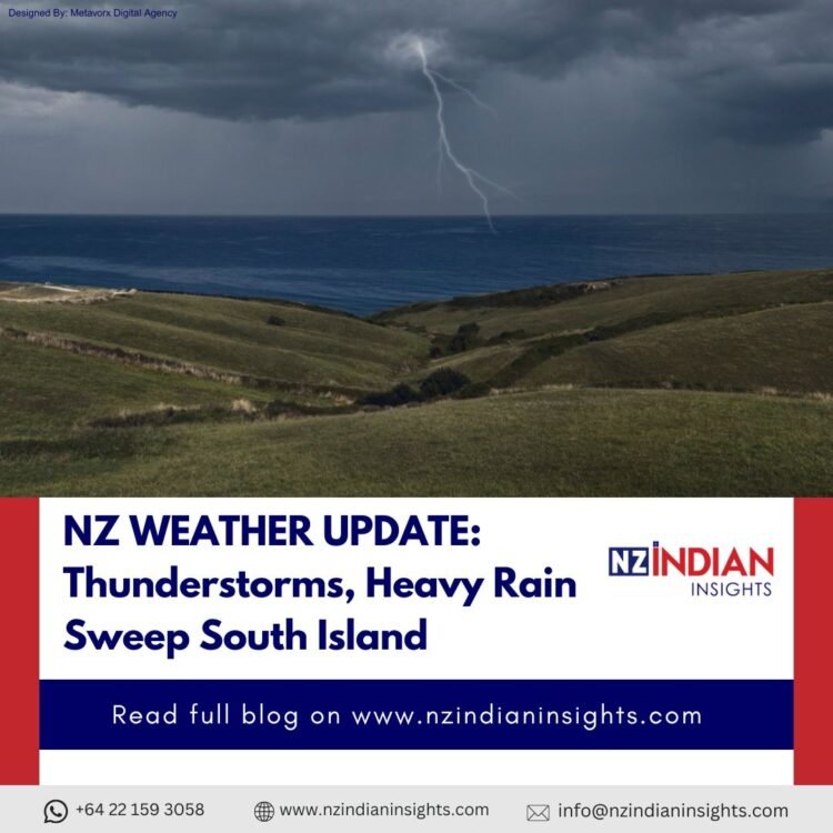
A vigorous weather system is currently impacting New Zealand’s South Island, bringing widespread showers, thunderstorm activity, and the risk of intense downpours and flooding through the weekend.
South Island in the Storm Zone
Meteorologists have highlighted that an unstable air mass over the southern part of the country is generating storm cells across large sections of the South Island. These storms are accompanied by heavy rain, frequent lightning, and strong winds, especially in regions such as Canterbury, Central Otago, Southland, and Fiordland.
The thunderstorms are capable of dropping 25–40 mm of rain per hour in bursts, which can lead to surface and flash flooding in low‑lying areas, gullies, and around urban centres. Roads may become hazardous as visibility drops and flooding occurs suddenly.
Warnings and Watches in Place
MetService has placed a severe thunderstorm watch in effect across much of the South Island through tonight, reflecting the moderate risk of severe pulses of rain and storm activity.
Residents and visitors are being encouraged to:
- Keep updated on local weather alerts.
- Avoid flooded roads and rapidly rising streams.
- Secure outdoor items as gusty winds may develop near storm cells.
Regional Impacts
Parts of Christchurch, Dunedin, Southland, and the southern high country are likely to experience the strongest storm effects, with isolated intense rainfall pockets as cells build and move southeastwards.
Earlier radar data showed thunderstorm activity near areas such as the Catlins and inland Otago, reinforcing the broad nature of the unsettled conditions across the island.
What’s Driving the Weather?
An advancing low‑pressure trough, combined with cold, unstable air flowing over the Tasman Sea and lifting across the South Island, continues to fuel convection and thunderstorm development. This weather pattern is typical for late December when contrasting air masses can meet over New Zealand’s southern latitudes.
Disclaimer: The information provided in this article is for general informational purposes only. Weather conditions can change rapidly, and readers are advised to monitor official updates from local authorities and meteorological services for real-time alerts and safety guidance. The publisher is not responsible for any damages, losses, or inconveniences caused by the use of this information.


